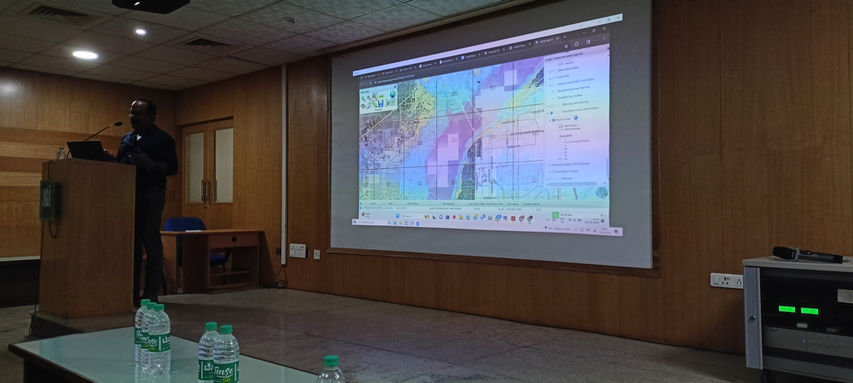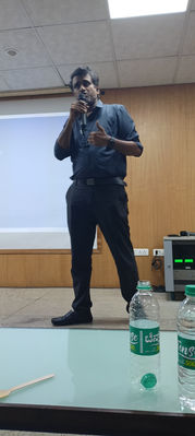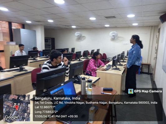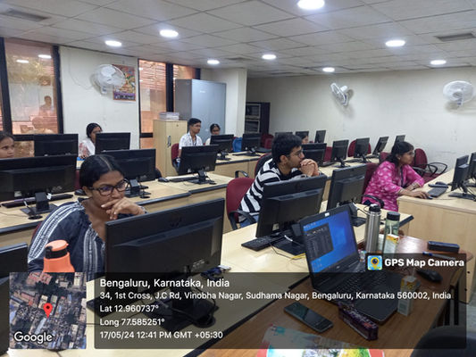

MoU
Avakaza Geoscience Research Technologies
&
Jain Deemed-To-Be University

Announcement:
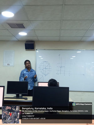
Industry-Level MoU Signed with JAIN (Deemed-to-be University), and AGSRT
We are thrilled to announce that we have entered into a significant Industry-Level Memorandum of Understanding (MoU) with JAIN (Deemed-to-be University), and the Avakaza Geoscience Research Technologies (AGSRT). This collaboration aims to enhance the Geographic Information Systems (GIS) domain for the students of JAIN (Deemed-to-be University).
Objectives of the MoU
This document outlines a strategic understanding between AGSRT and JAIN (Deemed-to-be University), to work together to offer the University Program for a period of 5 years. The primary aim of this partnership is to aid Jain in establishing a high-quality repository of GIS technologies. This initiative is designed to help Jain teach and train their students in strategic technologies, positioning them to support India’s Information Technology initiative. This strategic initiative requires the total commitment of both AGSRT and Jain.
Benefits of the Collaboration For JAIN (Deemed-to-be University):
- Competency in Research and Development: Opportunity to emerge as a leading entity in research and development in the GIS domain.
- Recognition: Opportunity to be recognized by industry and academic circles as a preferred location for acquiring training and skills development in the latest technology and software.
- Training Utilization: Opportunity to utilize the Program to train students on GIS software products and technologies.
- Curriculum Development: Opportunity for faculty and students to design a world-class curriculum capable of delivering the caliber of GIS skills required at present and for the future.
For AGSRT:
- Resource Pool Creation: Creation of a resource pool of GIS software professionals to boost the existing skill level in the country.
- Curriculum Inclusion: Inclusion of GIS software and technologies in the course curriculum of Jain.
- Skilled Students: Availability of skilled students from the Program for projects, benefiting GIS customers and AGSRT's business partners.
Areas of Collaboration
AGSRT Commitments:
- Provide highly qualified training faculty and utilize AGSRT’s proficiency to empower Jain through GIS domain skill development training.
- Conduct need-based and skill-based courses and programs for students and faculties of Jain.
- Assist in placement with GIS corporates through AGSRT’s recruitment assistance team.
- Participate in academic conferences, seminars, workshops, and discussions held by both institutions.
- Assist in identifying software requirements at the college and support in purchasing the appropriate software.
- Implement training in collaboration with Jain and support students with placement assistance.
JAIN (Deemed-to-be University), Commitments:
- Set up, operate, and maintain the infrastructure required for training.
- Promote the AGSRT Software Certification Program among students, with costs borne by the student.
- Set up a training center to run classes on Saturdays at the campus in a mutually beneficial financial model for both AGSRT and Jain.
- Make available faculty for conducting training on-site or at customer premises on a payment basis.
- Support AGSRT in conducting fests/competitions for students at the college.
- Support AGSRT in arranging required admissions for GIS training batches and provide facilities to conduct the same in a mutually beneficial revenue-sharing model.
Looking Forward
We are excited about the potential this MoU holds for enhancing the GIS domain for the students of JAIN (Deemed-to-be University). By leveraging the strengths of all parties involved, we aim to provide students with the best possible education and opportunities in GIS. We look forward to the positive impact this collaboration will have on the students and the broader community.
For more information about the MoU and upcoming GIS initiatives, please stay tuned to our updates.
Seminar
Workshop
WorkShop
AJ Institute of Engineering
&
Technology
(Mangalore, Karnataka)

Announcement:
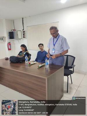
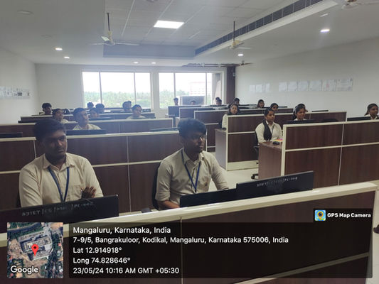
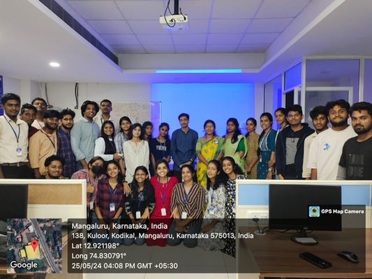
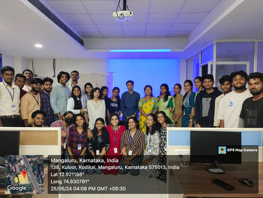
We are thrilled to announce that Mr. Shubham Kumar, GIS Developer at Avakaza Geoscience Research Technologies, Bangalore, has received a letter of appreciation and gratitude for his outstanding contribution during the three-day workshop on Geospatial Data Analytics. This workshop, held from May 23-25, 2024, at A.J. Institute of Engineering and Technology, Mangalore, was a significant event that showcased the latest advancements in geospatial technology and data analytics.
Objectives of the Workshop
The primary objectives of the Geospatial Data Analytics workshop were:-
Knowledge Enhancement: To provide participants with a comprehensive understanding of geospatial data analytics, including the latest tools and techniques used in the industry.
Skill Development: To equip attendees with practical skills in GIS and remote sensing, enabling them to analyze and interpret geospatial data effectively.
Industry Exposure: To bridge the gap between academic knowledge and industry practices by bringing in experts like Mr. Shubham Kumar to share real-world insights and applications.
Collaborative Learning: To foster an environment of collaborative learning and knowledge sharing among students, faculty, and industry professionals.
Innovation Encouragement: To inspire innovative thinking and problem-solving approaches using geospatial data and technology.
Benefits of the Workshop For A.J. Institute of Engineering and Technology:
The Geospatial Data Analytics workshop brought numerous benefits to A.J. Institute of Engineering and Technology, including:
Enhanced Curriculum: The workshop enriched the existing curriculum by introducing advanced topics in geospatial data analytics, ensuring that students are well-prepared for the demands of the industry.
Faculty Development: Faculty members gained exposure to the latest trends and technologies in geospatial analytics, which they can integrate into their teaching methods and research initiatives.
Student Empowerment: Students gained hands-on experience and practical skills, boosting their confidence and competence in geospatial technologies, which are crucial for their future careers.
Industry Connections: The event strengthened the institute's connections with industry leaders like Avakaza Geoscience Research Technologies, paving the way for future collaborations, internships, and job opportunities for students.
Institutional Prestige: Hosting such a successful and high-profile workshop enhanced the institute's reputation as a center of excellence in engineering education and research.
We extend our heartfelt thanks to Mr. Shubham Kumar for his invaluable contributions and to Dr. Suman Kundapura for her unwavering support. This workshop's success is a testament to our commitment to providing top-quality education and fostering innovation in geospatial sciences.
We look forward to more such enriching collaborations in the future!
.png)


